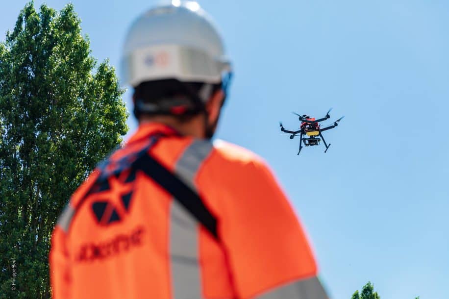
Sixense have more than 30 years experience of offering solutions to support you at every stage in the process of digitising your assets, whether they take the form of industrial installations, engineered structures or processes. Since 5 years, Sixense Middle east implemented Mapping solutions.
Our multiple data acquisition solutions can be combined to meet all your requirements for comprehensive coverage and accuracy.
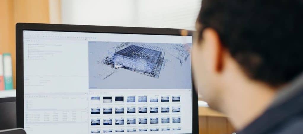
Our teams model the information acquired to ensure that it fulfils your business needs and can be analysed to address challenges of dimensional inspection, change detection or operational monitoring while using Mapping solutions in the Middle East.
To ensure the success of your digital processes, data and digital models are made available to your teams in the form of viewers or via our visualisation platform.
The mapping and digital inspections are collection and processing of high precision LiDAR and photogrammetric data to digitalize, inspect and analyse any industry or infrastructure asset and their environments.